Acadia National Park Visualizations
Location: Acadia National Park, Maine, US
Date: 10. 2019 - 01. 2020
Type: Individual Work
Instructor: Peter Stempell
Tool: QGIS, Rhino, Python for Rhino
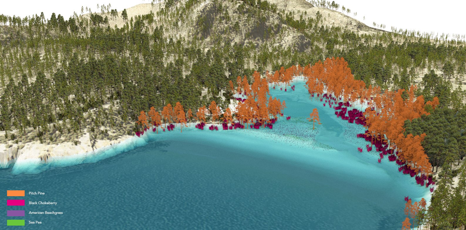
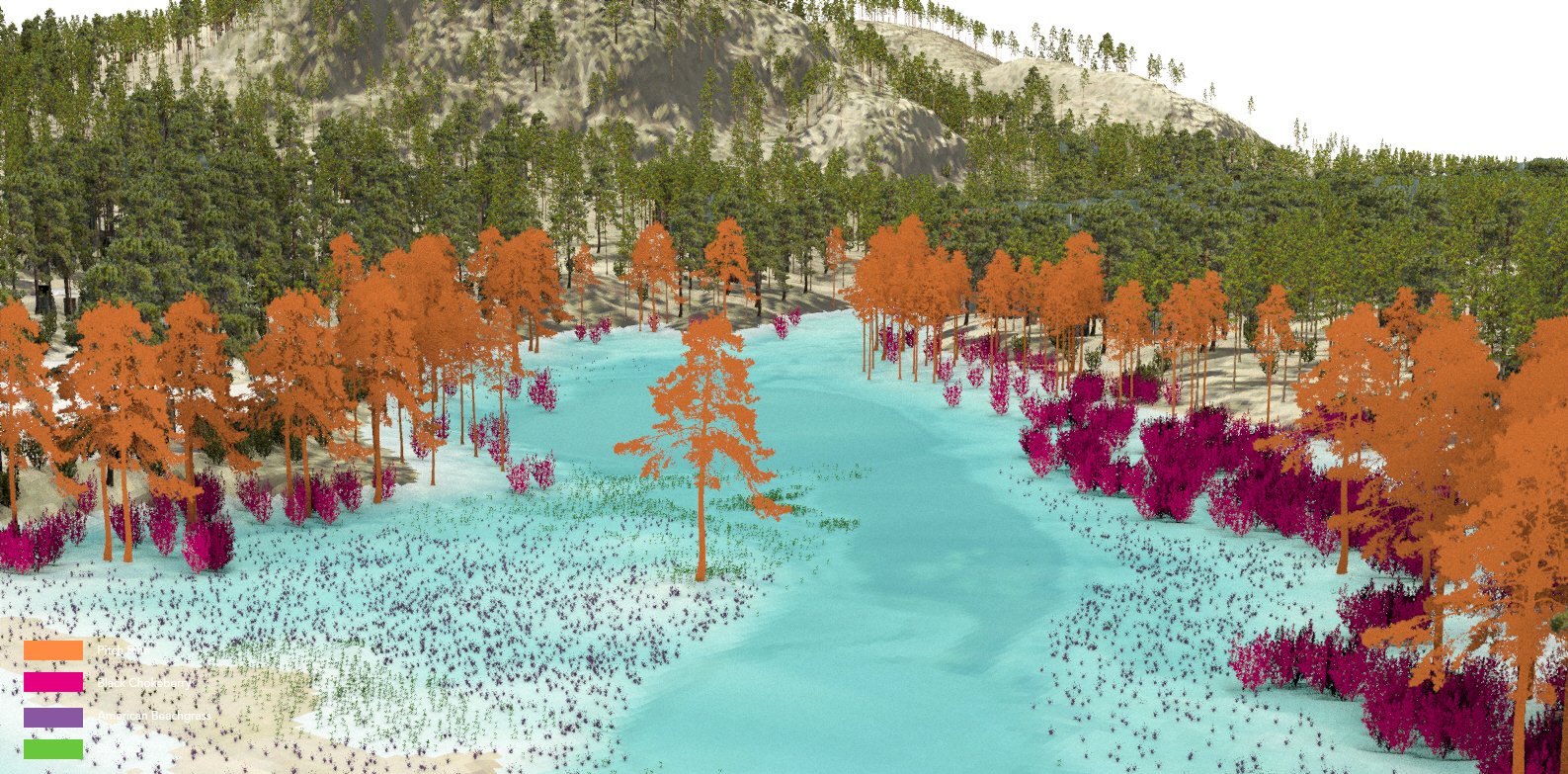
These visualizations are designed for educational purposes, aiming to present information in a clear and accessible way for all visitors to the national park. By illustrating the connection between vegetation extinction and rising sea levels, the visualizations seek to raise awareness about the impacts of sea-level rise on the park's ecosystem. Ultimately, they aim to inspire care for nature and the environment by helping visitors understand how these changes affect both the park and their own experiences.


